130+ Magnolia Trees!
And introducing magnolia walking routes.

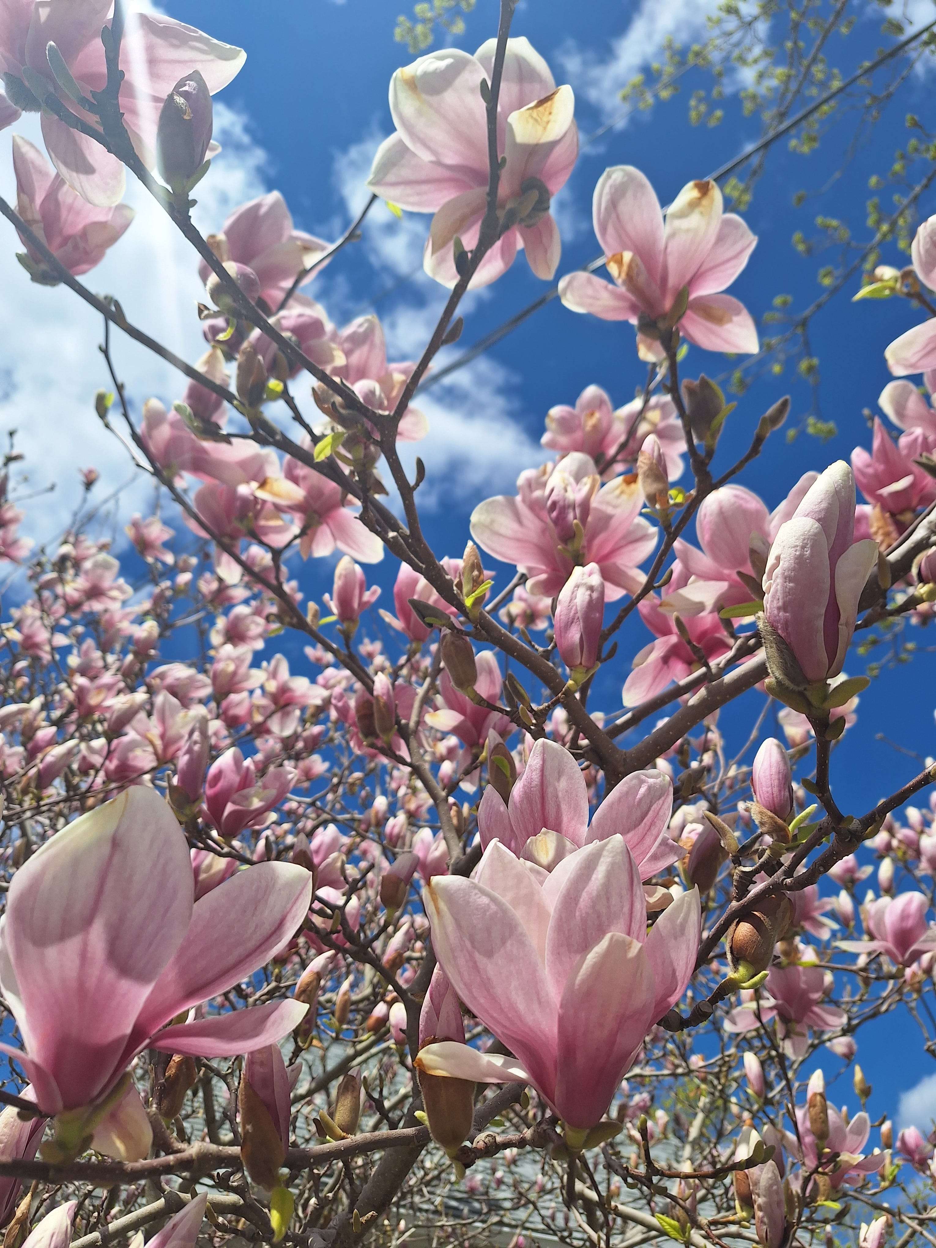
The Magnolia Map now has over 130 trees documented, with more than 80 people contributing to the map! White and pink star magnolias will soon be passing their peak, and saucer magnolias are in various stages of bloom.
The main reason I created this map was to get to know Halifax better on foot, create connections with neighbours, and of course see/smell as many magnolia trees as possible.
On my own walks I've enjoyed finding new (to me) businesses, lemonade stands, and generally exploring new neighbourhoods. While searching for magnolias, you may also find free little libraries, yard sales, curbside finds (@stooping_halifax), beautiful garden beds, sidewalk chalk art, or local corner stores or cafes! (#boycottloblaws)
Magnolia Walking Routes
I have created suggested walking routes to enjoy the blooms, along with other spring flora including forsythia, tulips, daffodils, azaleas, and more.
📌 North End, 2km
📌 South End A, 3.2km
📌 South End B, 1.6km
✨️ Dartmouth route coming soon!
Use this link to access the map, and use the "View legend" button to select which routes you want to view. You can also find a link to the submission form to submit any magnolias you find!
And feel free to tag @magnoliamaphfx in any photos you take of these beauties!